
This year, a lot of Americans found out what those of us in Central Idaho have always known -- trails on public lands are cool. That’s why for years the Salmon Challis Trails Group has had an open invite to anyone who wants to help make sure these trails remain accessible, are sustainable, provide local economic benefit, and most of all, are fun and safe for all kinds of trail users.
One of our main conundrums has been figuring out how to share information about trail conditions in real time, or as close to it as possible. The Salmon-Challis National Forest has been doing a much better job about posting planned and completed trail work, but a lot of times they don’t collect that information until the end of the season. So we’re going to talk about some game changers in the information sharing department – the TrailForks app/website and the Frank Church Wilderness of No Return Wilderness Interactive Trail Map.
In this blog, we’ll focus on TrailForks.
From the TF website:

Trailforks is a trail management system for outdoor enthusiasts, trail builders/associations, government and tourism. It aims to provide the very best tools to inventory, maintain, promote and showcase trail networks and tourism destination. Tools such as statistics empower each group to have accessible data to show local city councils, governments, tourism boards and parks, conveying the popularity and potential economic impact of outdoor recreation on their area in order to receive further support to grow trail networks.
The Trailforks App harnesses all this data and provides users with the best tool for planning their next destination, and on trail experience of navigation and safety.
There are a lot of wayfinding apps out there, so why TrailForks? Because the genius of crowdsourced information lies with the crowd, and in these parts, the crowd (all 25 of us) uses TrailForks more often than other apps. And what started out being an app primarily for the mountain biking community is now embracing all other trail user groups. Better still, we are lucky enough to have two TrailForks ambassadors in our area – Dave Lingle and Wayne Hecker.
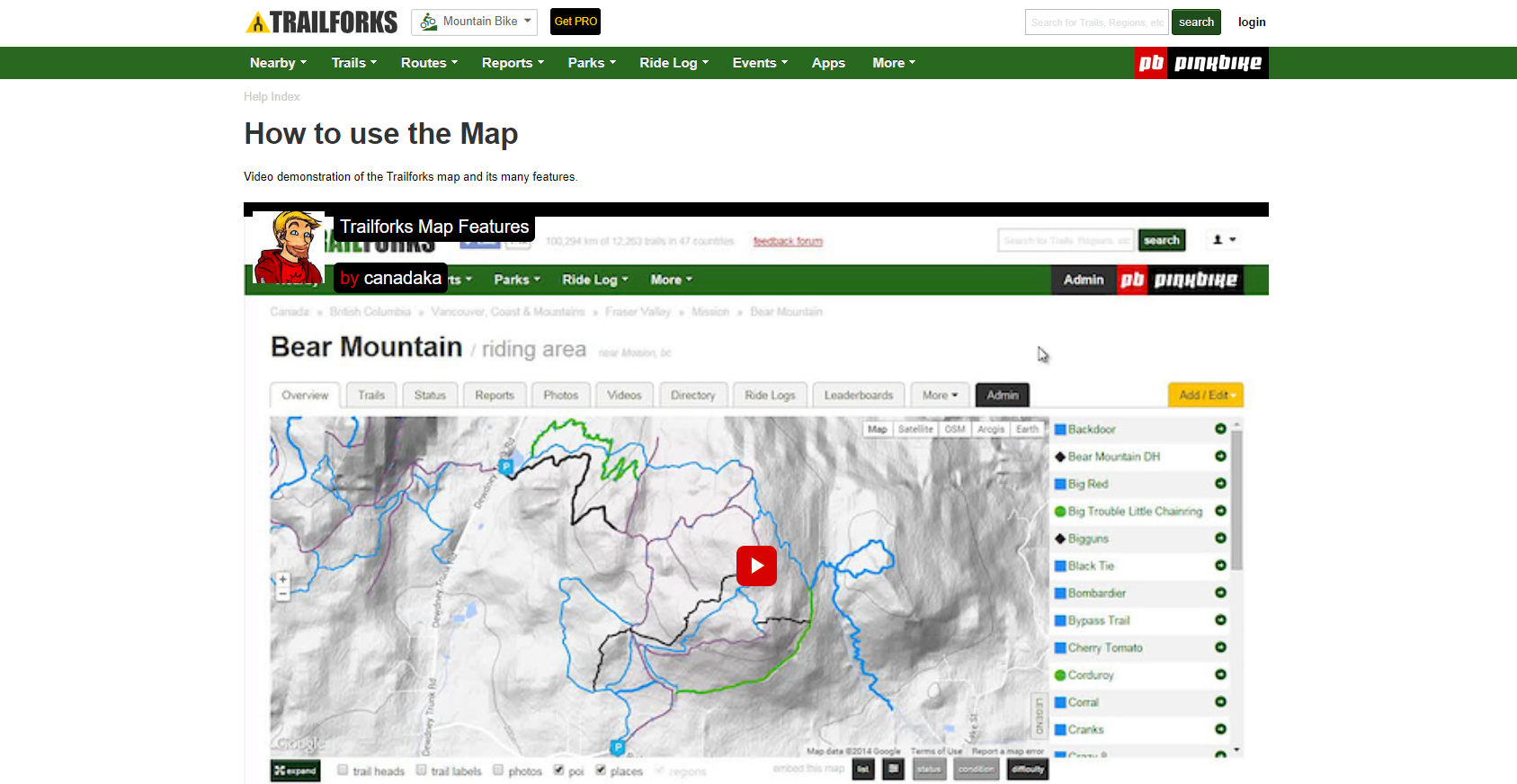
A few tips for the novice TrailForker...download the app on your phone, but also spend some time on the website. The Help page is a good place to start. There are short videos like this one about how to use the map that can get you up and running in a short period of time, and that you will surely want to return to as you use the app more and more.
Then pick an activity and go practice recording a ride or a hike.


You'll get an email prompt once you save your journey to report trail conditions. Do this, even if you don't think you have anything to report, just knowing that the trail up to Allan Lake was green (code for good) is important for others to know.
Another important thing about recording your activities is the collective information from all of us can help volunteers and agencies know which trails are more popular and perhaps merit more maintenance attention.
Take our TrailForks challenge. If you haven't yet downloaded the app, do that now, and then record your next outing, and tell us what you think.
Next up: Finding Your Way in the Frank